
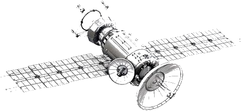
Load area & data
You mark a target area. GeoScan automatically pulls the matching Copernicus Sentinel-2 scenes — no field access, no drilling, no waiting.
Contactless Geo-Exploration
geoscan AI reads freely available satellite data, detects spectral patterns in the subsurface with AI, and delivers a reproducible prospectivity fingerprint of your area — without ground access, without drilling, in minutes instead of weeks.
Figures based on the open Copernicus / Sentinel-2 data foundation (ESA). No contract required.
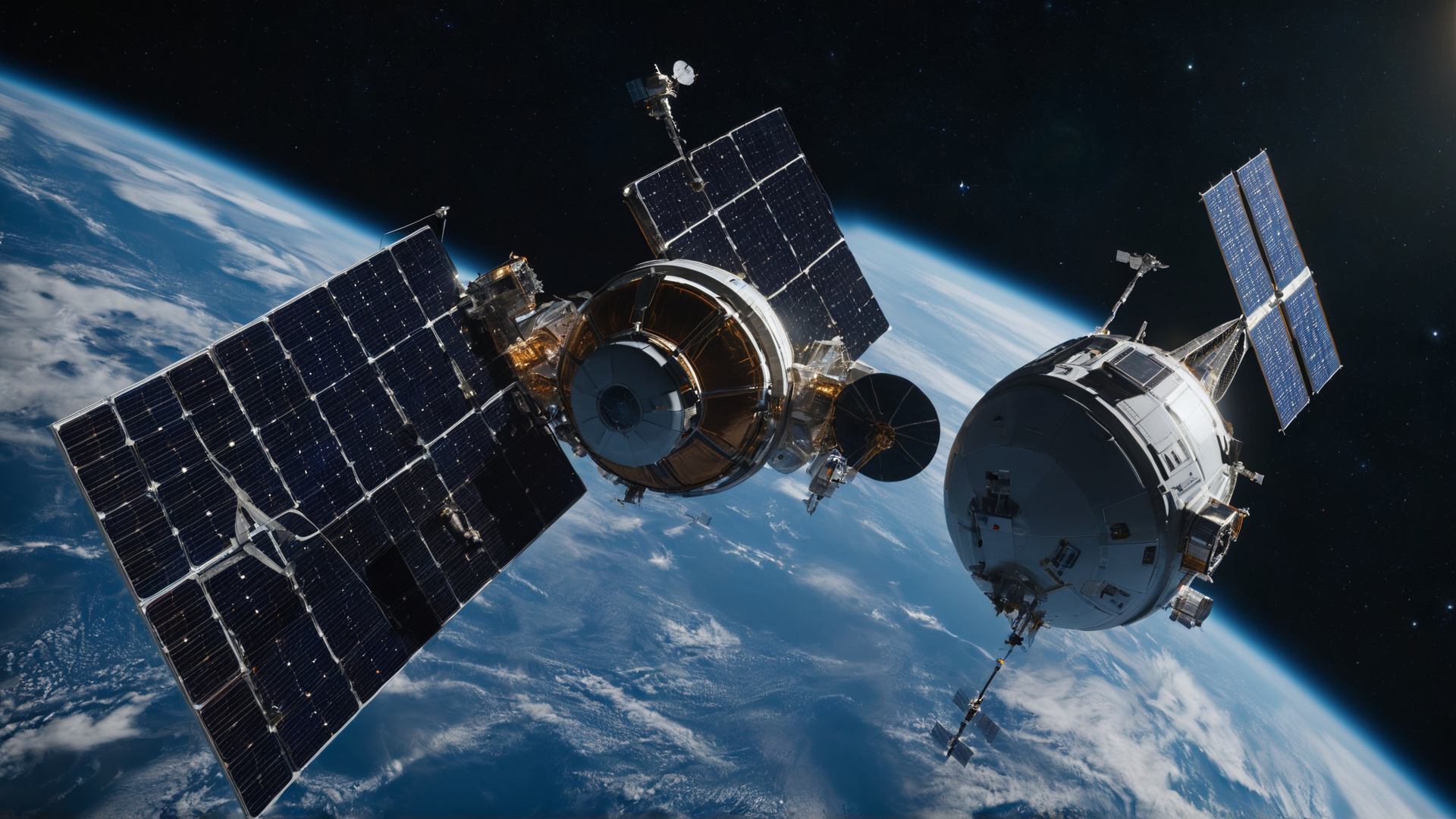
The Process
Set coordinates or polygon — anywhere on Earth.
Matching Copernicus scenes are loaded automatically.
Spectral bands are processed into alteration and anomaly patterns.
Geocoded heatmap with confidence — shareable and versioned.
Schematic representation of the process. Interactive live demo on your area available on request.
You mark a target area. GeoScan automatically pulls the matching Copernicus Sentinel-2 scenes — no field access, no drilling, no waiting.
Our model processes the spectral bands into anomaly and alteration patterns, distilling a reproducible prospectivity fingerprint of your area.
You receive a geocoded analysis with heatmaps, confidence, and traceable methodology — shareable, versioned, repeatable.
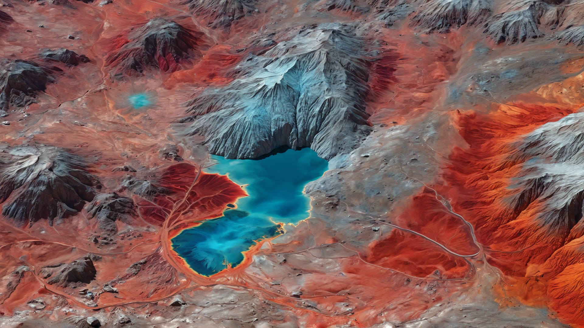
A dense, geocoded probability field instead of gut feeling — for prioritizing exploration and field planning.
Make secondary resources visible: spectral signatures of old stockpiles and processing residues, captured contactless.
Multispectral alteration and mineral indices highlight features that remain invisible in RGB imagery.
Every analysis is versioned and linked to its data foundation — auditable, not a black box.
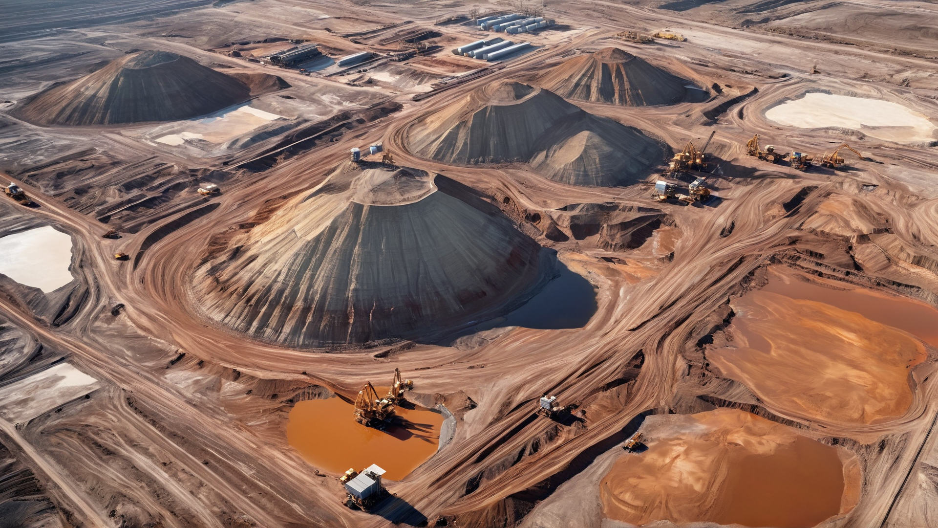
Early prioritization of large license areas before expensive campaigns begin.
Re-evaluate existing stockpiles — circular economy instead of new extraction.
Recurring acquisitions show change over time, without repeated field deployment.
Data Foundation
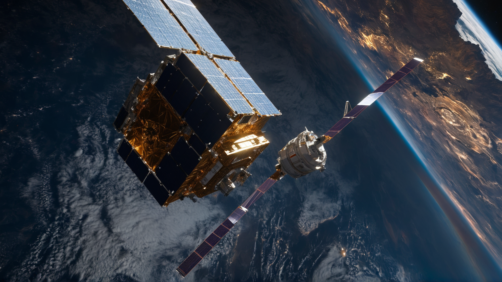
geoscan builds on the European Copernicus program: Sentinel-2 delivers freely usable multispectral imagery, our model turns it into geological information. The prospectivity fingerprint emerges from band ratios and alteration indices — every analysis carries its data provenance and methodology.

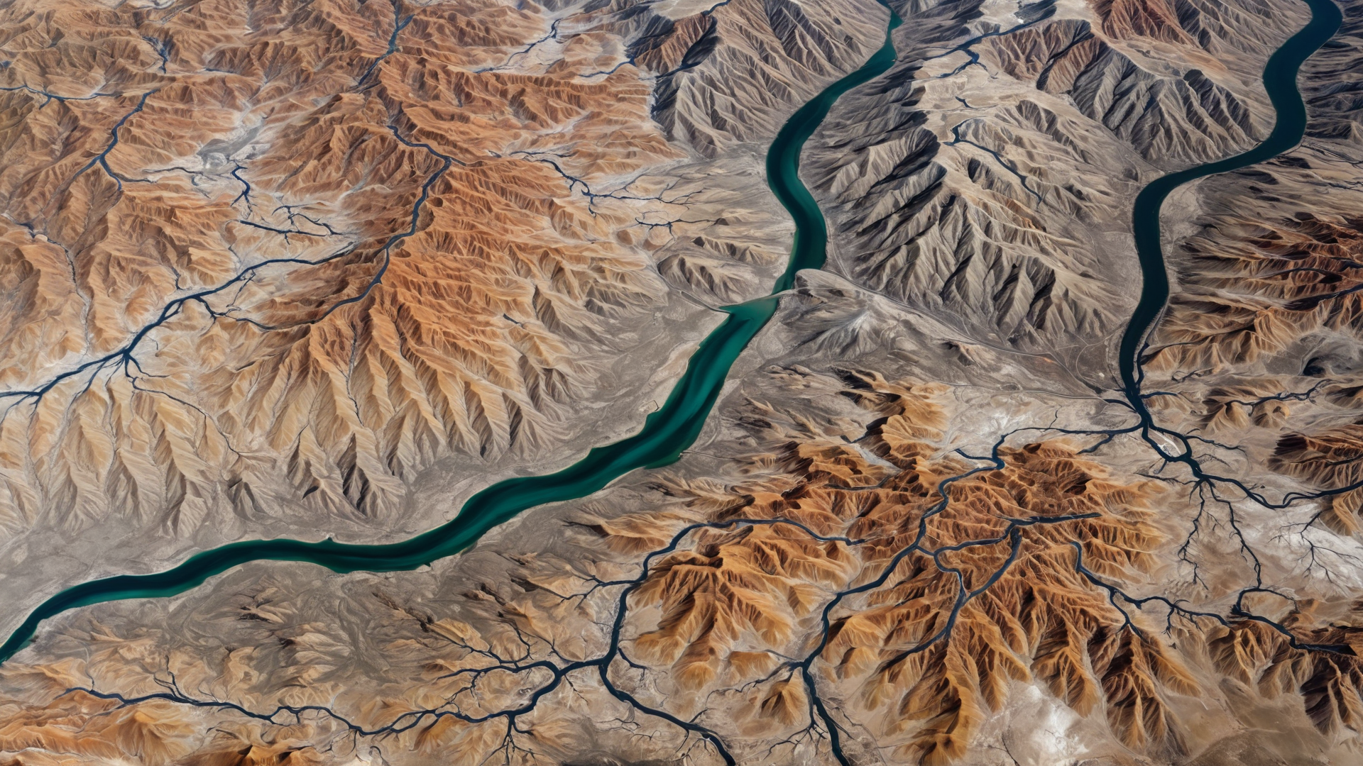
Illustrative satellite terrain (own render). Real analysis layers follow with pilot data.

No. The initial analysis is fully contactless — it is based on freely available satellite data. Fieldwork can then be targeted to the prioritized areas.
The European Copernicus program with Sentinel-2 satellites: 13 spectral bands, 10–60 m resolution, ~5-day revisit — open and free to use.
Every analysis is versioned and linked to its exact data foundation and methodology. Same input yields the same result — auditable, not a black box.
No — it prioritizes it. GeoScan shows where expensive fieldwork is most worthwhile first, reducing search space, time, and cost.
References
"Volkswagen recognises the opportunity to localise quickly relevant raw material deposits such as Lithium and Cobalt for e-mobility as a chance to secure its raw material demand in the long term."
— Volkswagen, Press Release
"Following full 3D seismic integration, this 'blind' study has successfully and accurately predicted and located two new stacked, compacted geological channel features as viable combined structural-stratigraphic traps."
— Nils Trulsvik, COO, STARC Limited
"gScan fully supplements alternative remote sensing methods. It helps to screen large areas very quickly."
— Ola Fjeld, Group COO, ARA Petroleum
100+
Projects worldwide
80%
cheaper than conventional
3×
faster
0
Environmental footprint

Selection of published cooperations. Over 100 projects worldwide.
Areas of Operation
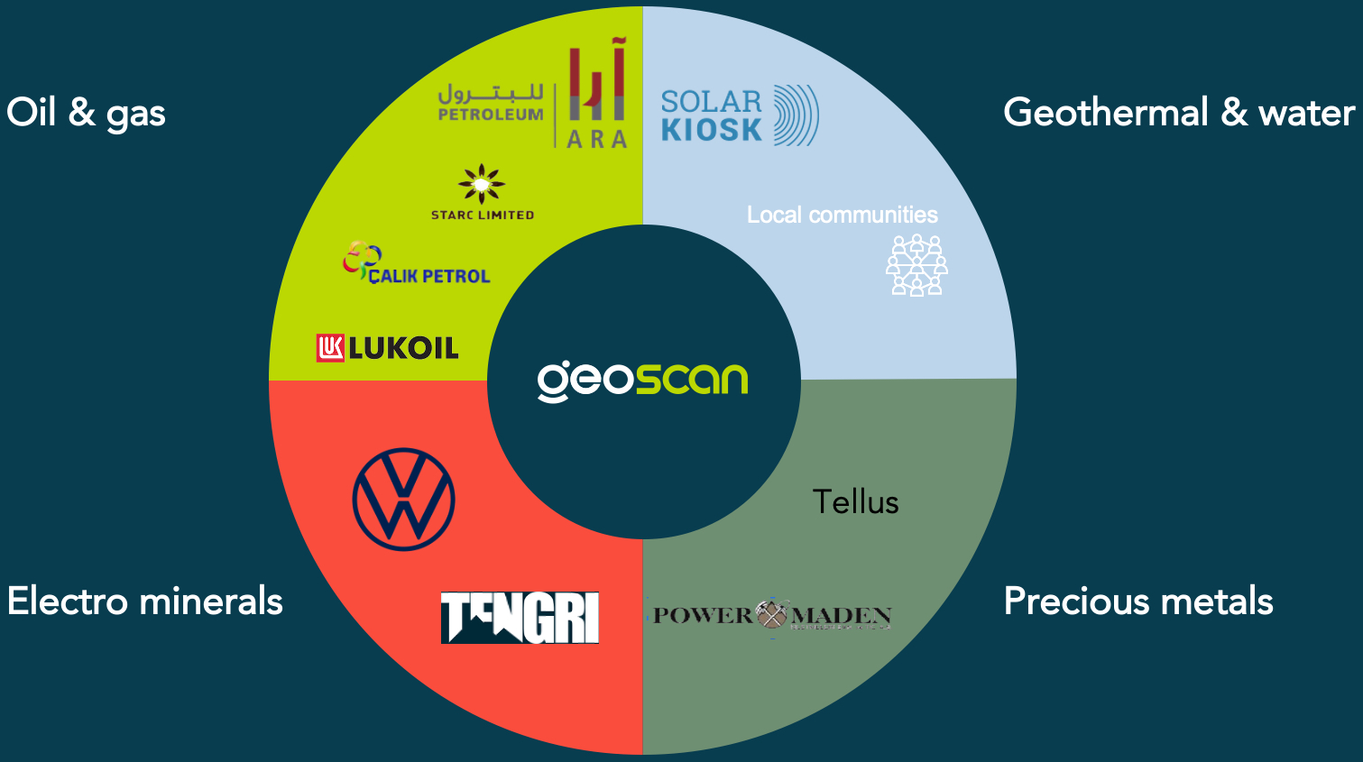
Onshore and offshore exploration up to 10,000 m depth — without drilling, without environmental impact.
Gold, silver, platinum and rare earths — spectral signatures instead of gut feeling.
Lithium, cobalt, nickel — raw materials for batteries and global electrification.
Geothermal sites and groundwater in arid zones — discovered contactless.
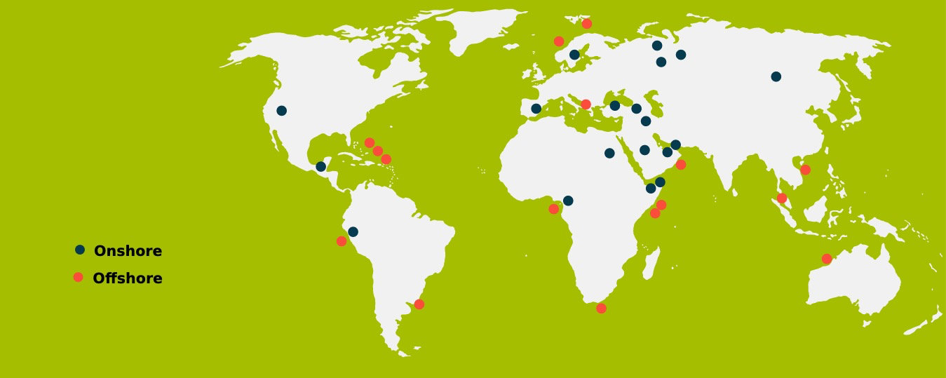
Worldwide projects (selection). GeoScan has completed over 100 projects in established and emerging sectors.
Sustainability
Unlock groundwater for drinking water and irrigation
Minerals for batteries, solar panels and global electrification
Exploration without harming marine life — no stranded whales
Combat desertification through groundwater development
Drinking water discovery in arid zones
Transparency on mineral and groundwater resources for nations
Basis for cheaper national financing through better ratings
Job creation in migration countries — strengthening structures
DaVinci AI × GeoScan
Hello, I'm Ronny — your AI guide for contactless geo-exploration. DaVinci AI and GeoScan combine AI pipelines with decades of geological expertise. Here's what we can do together:
DaVinci AI combines freely available Copernicus Sentinel-2 data with cutting-edge AI to detect geological patterns that remain hidden to the naked eye.
From 13 spectral bands, our model distills a reproducible probability fingerprint — without ground access, without drilling.
GeoScan brings decades of exploration expertise; DaVinci AI contributes the AI pipeline, automation, and scalable cloud infrastructure.
Send us a request — we'll show you the prospectivity fingerprint from open satellite data.
Online · AI Geologist